Harvesting combine data to tackle field-edge yield declines
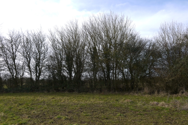
Have you ever wondered what the true benefit of hedgerows, tree lines or flower rich margins are on your crop yield? As part of the EU-funded project Ecostack, I am looking into whether these landscape features are helping improve crop yield. To do this I need your help by sending your GPS data collected at harvest. Your yield-monitor data will be integral to this study linking the biodiversity found just beyond the field with variations in yield within it.
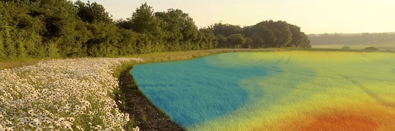
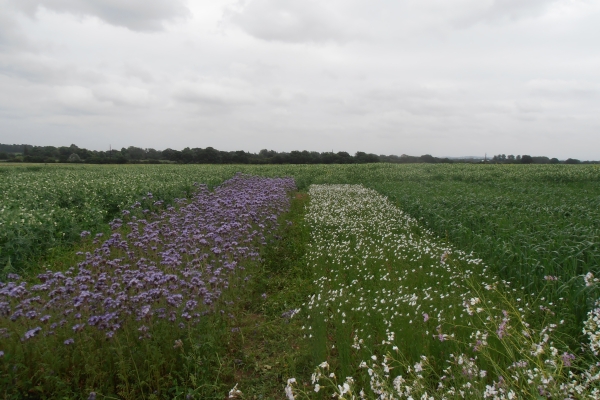
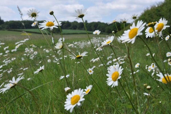
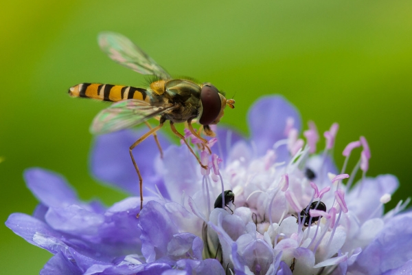
We know that yield often decreases at field edges – but what if the presence of certain landscape features can help prevent or reduce this decline? If we take flowering field margins for example, we know that they have a number of positive impacts on biodiversity: they can help to boost the number of pollinators and other insects that provide vital services on farms such as natural enemies of crop pests. However, what we don’t yet fully understand is whether these benefits, provided by field margins and other landscape features at the field boundary, translate to visible improvements in crop yield.
It is possible that different types of field boundaries could help to reduce the yield decline at field edges to a greater or lesser extent. I hope to gather enough data to be able to link yield maps, collected by GPS enabled combine harvesters, with the presence of different landscape features, and so determine whether yield decline towards the edge of fields is associated with certain types of boundaries. Likewise, I will also identify whether features known to support pollinators and other beneficial wildlife are having a positive effect on yield in the nearest parts of the crop. The EcoStack project is hoping that information on the location, quality and quantity of landscape features such as hedgerows or wildflowers linked to yield maps will give the clearest indication yet on the benefit of on-farm biodiversity.
Data from any sort of crop, from any location, or any year will be useful, and I can promise that no farmer data will be shared beyond this project. We won’t publish maps or use them in presentations without prior consent, and the way the data will be pooled and processed before publication means nothing identifiable will be detectable from it.
If you would like to help with this project you can find more information on how to take part, including simple instructions on how to download combine data here.
Helen Metcalfe writes of herself “I am an ecosystems modeller at Rothamsted Research. I am particularly interested in how we can work with the landscape to plan management practices that support biodiversity on farms whilst preventing yield losses. Much of my work focusses on weeds as they are often a significant driver of yield losses yet can also support a wide range of insects and other beneficials.”
Header image shows field margin and yield map. Courtesy of Rothamsted Research, All Rights Reserved.
