")
A cut and paste approach to landscape management… reflections from ORC agroforestry researchers
Three of civilisation’s great current obsessions; Artificial Intelligence (AI), carbon, and biodiversity loss are a focus of one part of the EU-funded REFOREST project that the agroforestry ORC team are currently working on.
Let me firstly explain what biodiversity and carbon markets are. Any farmer or landowner who is about to undertake a project that is likely to increase the carbon or biodiversity content of his/her land, such as a new agroforestry plantation or woodland, can calculate how much carbon or biodiversity will increase as a result and sell these credits to companies who are producing CO2 or degrading biodiversity, to compensate. Strictly speaking you can do these calculations on the back of your hand and approach a business and offer to sell your credits to them, but the accepted ‘high integrity’ approach that most businesses require is to go through a reputable scheme such as the Woodland Carbon Code or Biodiversity Net Gain.
Verification of credits is a big issue for these schemes and one of the most costly and difficult parts of any project. Clearly you need to verify that you are delivering what you said you would, but in schemes such as the Woodland Carbon Code, this requires foresters, farmers or project developers to go out and collect the necessary tree measurements that are fed into a bunch of quite complex calculations. Wouldn’t it be great if a satellite could take an image of your land and ping out a carbon or biodiversity value for you?
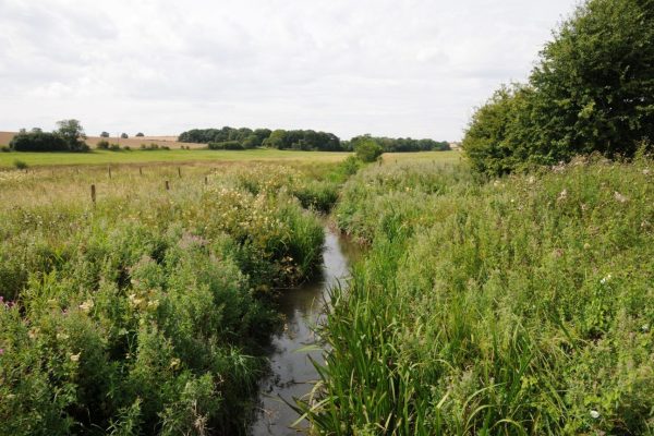
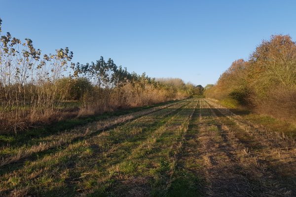
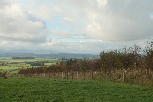
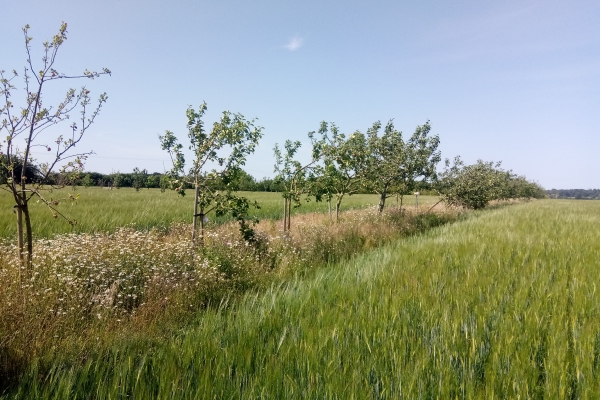
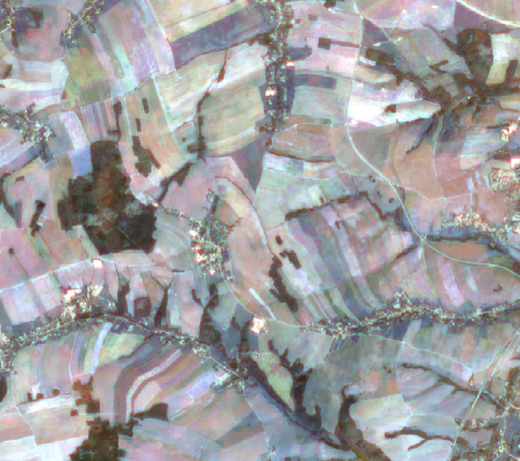
This is where my work in the project comes in. We are using high resolution Sentinel-2 satellite images of the European landscape and coupling these with large landscape carbon and biodiversity data sets to train an AI model called a convolutional neural network (CNN). This network will take multiple satellite images of bits of land of which the carbon and biodiversity value are known, and through a training procedure, come to associate features in the landscape with certain carbon and biodiversity values. You will then be able to use the same network to look at landscape areas for which you don’t know the carbon and biodiversity value, and it will ping out a reasonable guess for you.
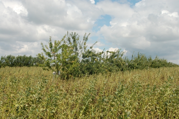
So the benefits of applying tools like this in verifying carbon and biodiversity credits are clear, but this is not the sort of thing, personally, that gets me out of bed each morning. I am more interested in agroforestry and ecology and using this tool to show the value of agroforestry and plan landscape interventions that benefit nature. Scientists have conducted hundreds of field studies over the years to determine how agroforestry impacts soil carbon and still no general consensus has emerged. You could potentially examine all remote images of agroforestry sites in Europe using this AI tool in a few seconds and make predictions about how agroforestry will impact soil carbon. The same could be done for agroforestry and biodiversity, which is currently being investigated in a series of field studies in the EU AGROMIX project.
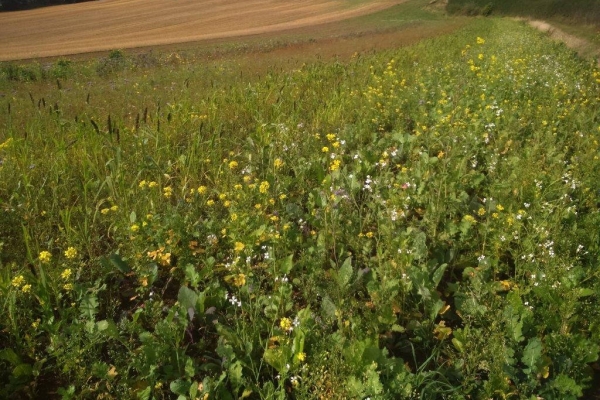
I’m also interested in how this tool could be used to design new landscapes incuding agroforestry. With a bit of work on the graphical side of things you could potentially cut and paste a tree line from a landscape image somewhere and paste it into an image of your current land, then look at this using the AI tool. Has this intervention increased carbon and biodiversity value of the land? What if I put a hedgerow next to this? What if I add another tree line alongside the first? Each imaginary intervention could be assessed for carbon and biodiversity value and you could design your new landscape project to optimise it.
As as scientist I am always wanting to “do a bit of good”. This work package enables me to pursue my highly applied research interests whilst also supporting the funder’s policy questions around how agroforestry can be scaled up across Europe to help address the nature and climate crises and support new approaches to profitable food production and land management.
This blog is authored by Colin Tosh, with inputs from Will Simonson
Associated Agricology Partner Organisation(s):
Author:

Published date:
8th November 2023Related farming theme:
Key Farming Practices:
- Silvoarable
- Silvohorticulture
- Silvopastoral
- Silvopoultry
- Soil monitoring
Organisation(s):
- Organic Research Centre
Related articles